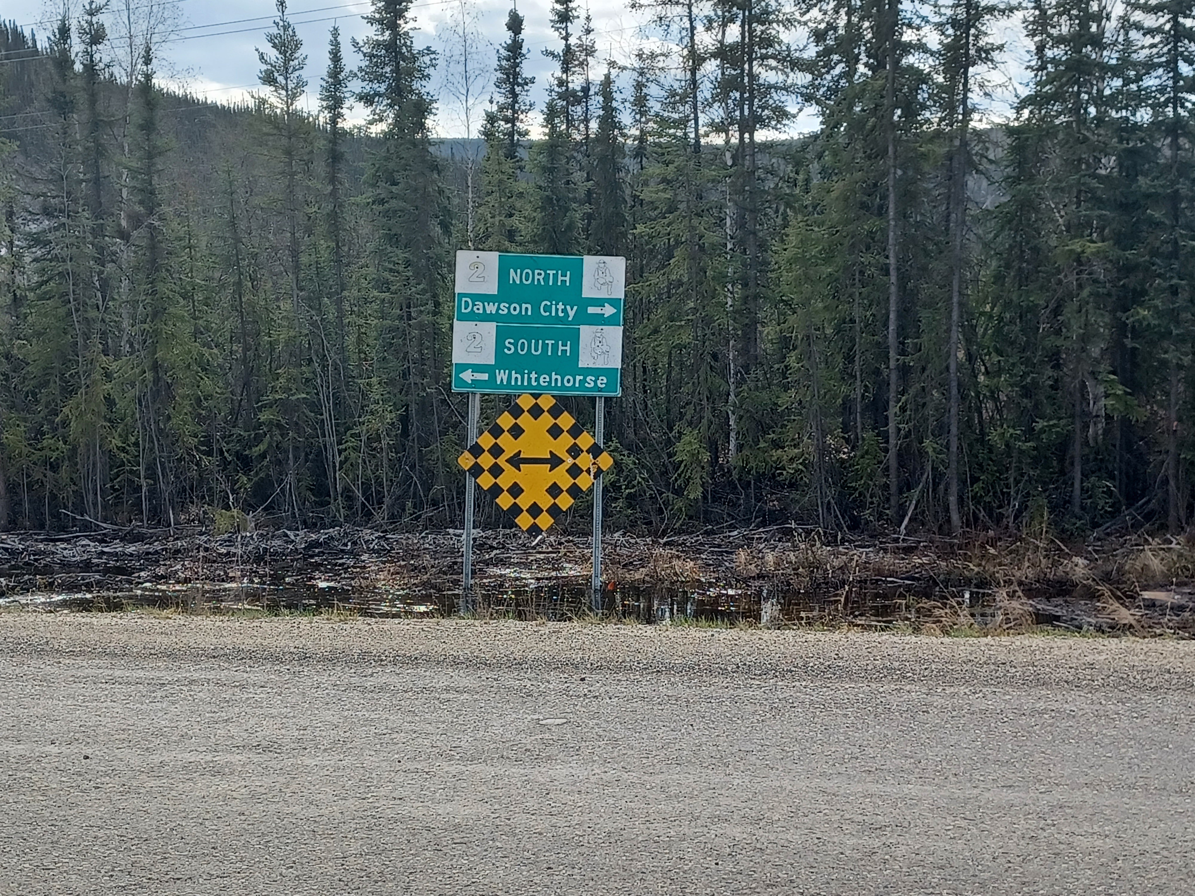
When planning for a trip, places you’d never heard of before can get built up in your mind so quickly that they become must-see events. I know I wanted to see multiple parts of the Yukon since I didn’t know if I’d ever be back, and the best way to cover a lot of ground for me is a road trip. And the only road going through the northeast part of the Yukon – the part we needed to go through to reach our ultimate destination, the Arctic Ocean – was the Dempster.
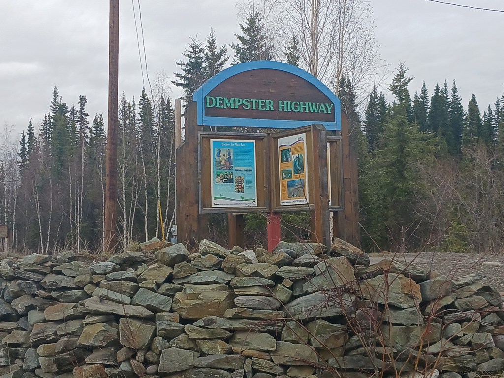
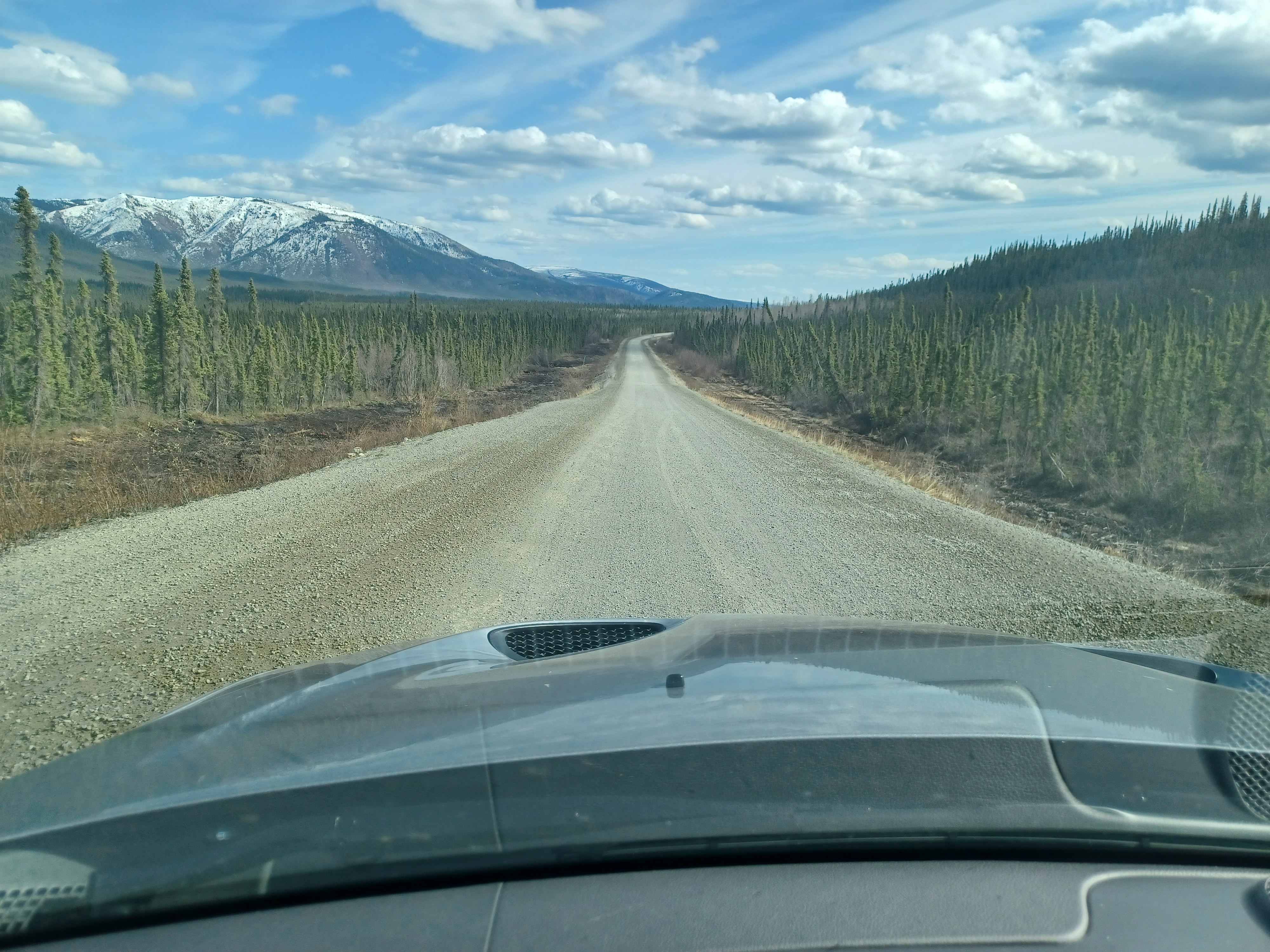
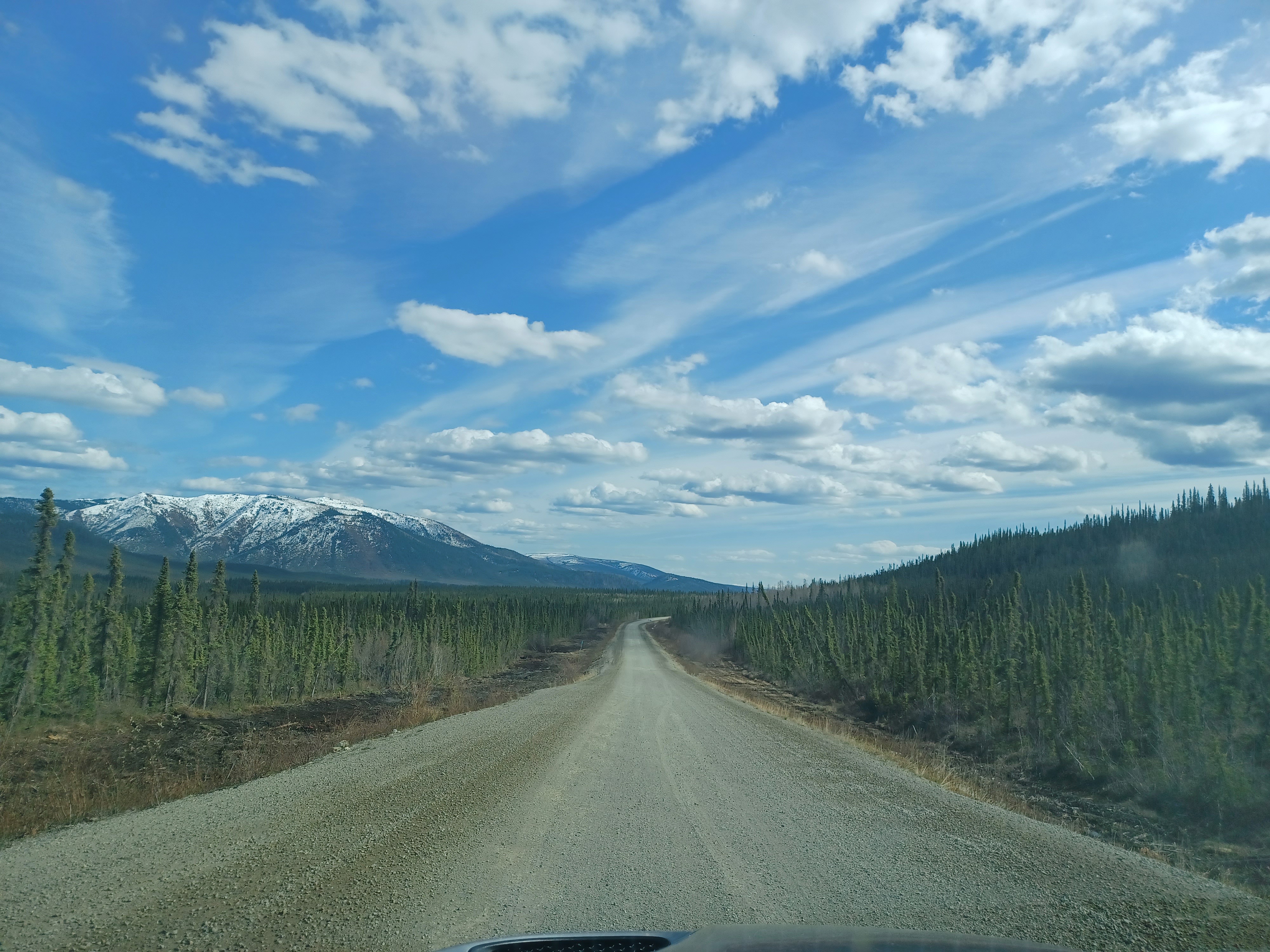
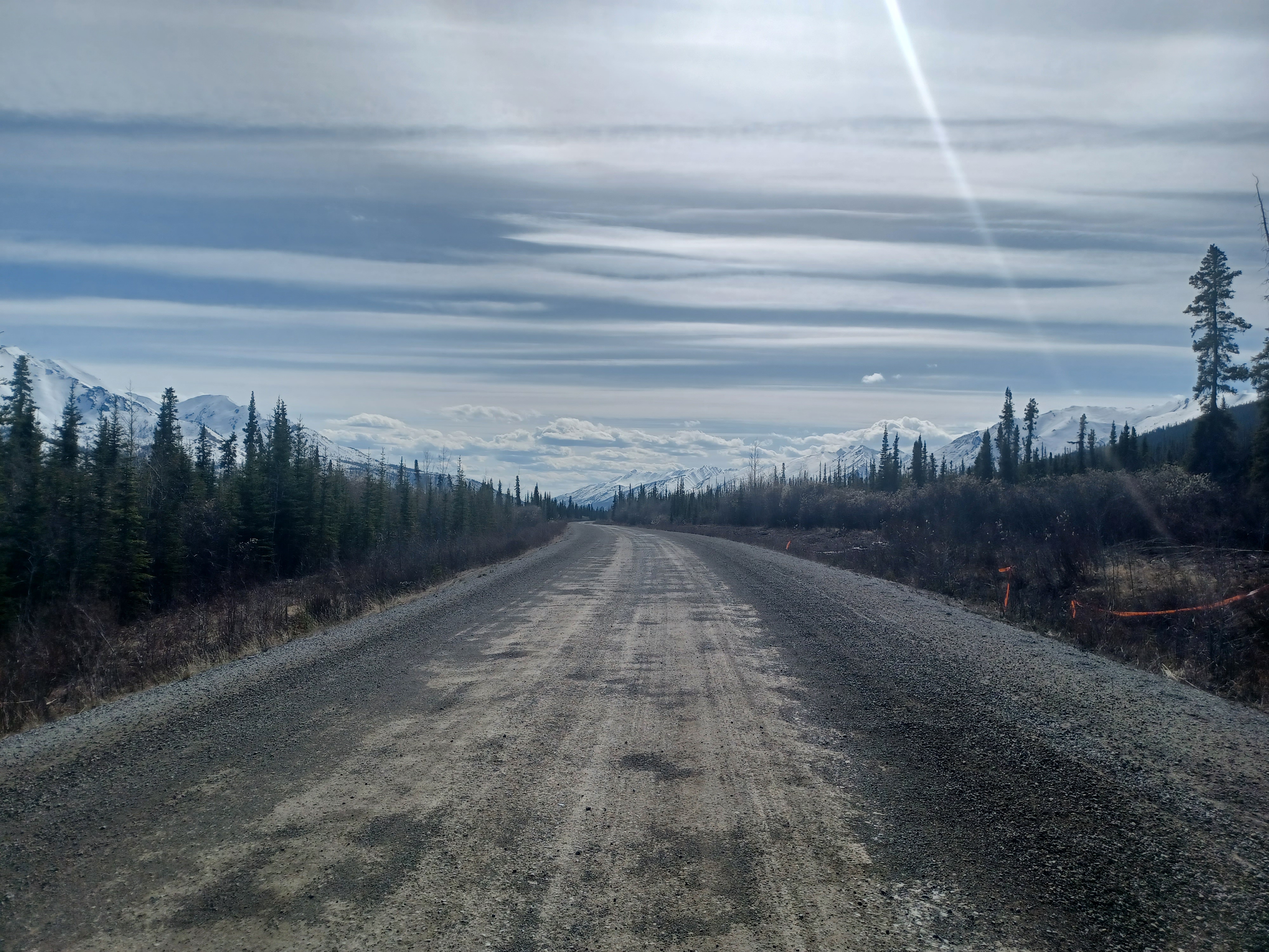
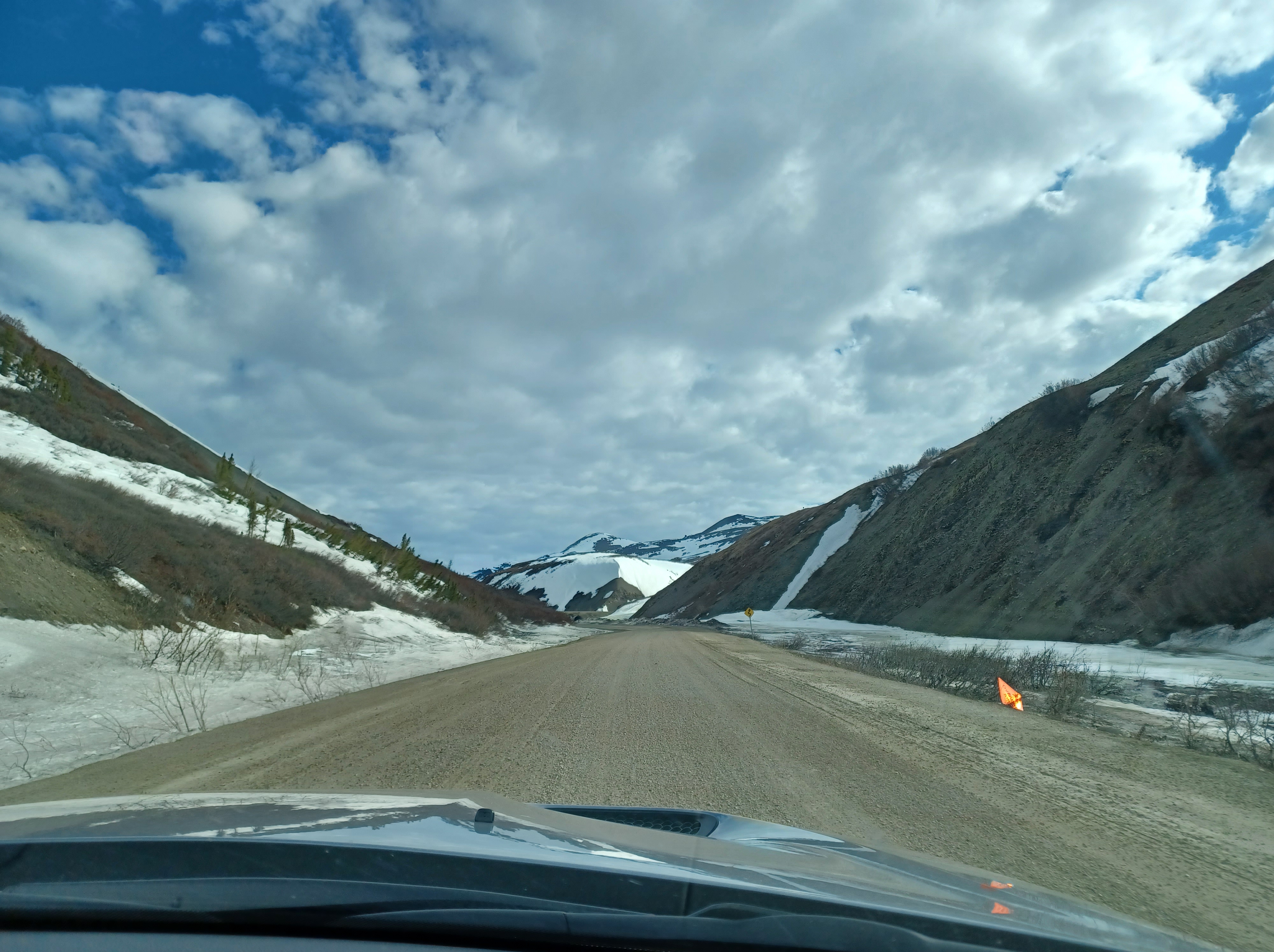
Completed in 1978, there were big dreams that the highway would spark tourism in the region. It would also connect remote communities to each other, with the big cities of Dawson (population 1375) and Inuvik (population 3243) on either side. 740km of dirt road with hours of nothing but mountains, you can go a whole day without seeing another car. It’s customary to stop and check on people if they’re pulled over. You can pull over and make your own path to hike, as someone at Tombstone park told us.
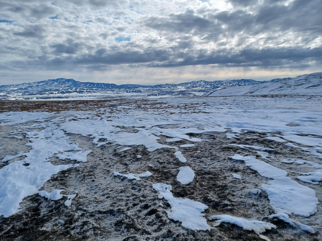
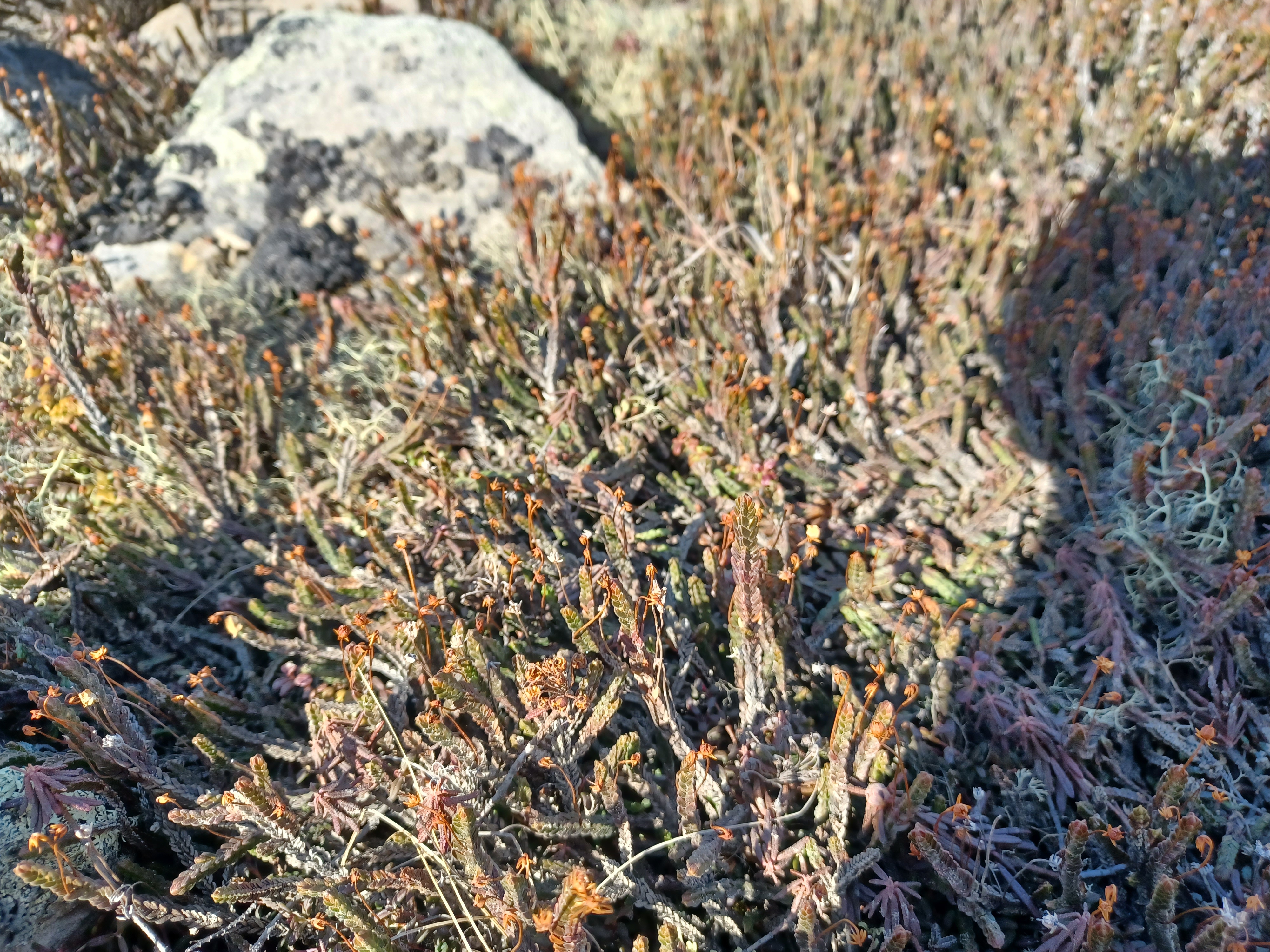
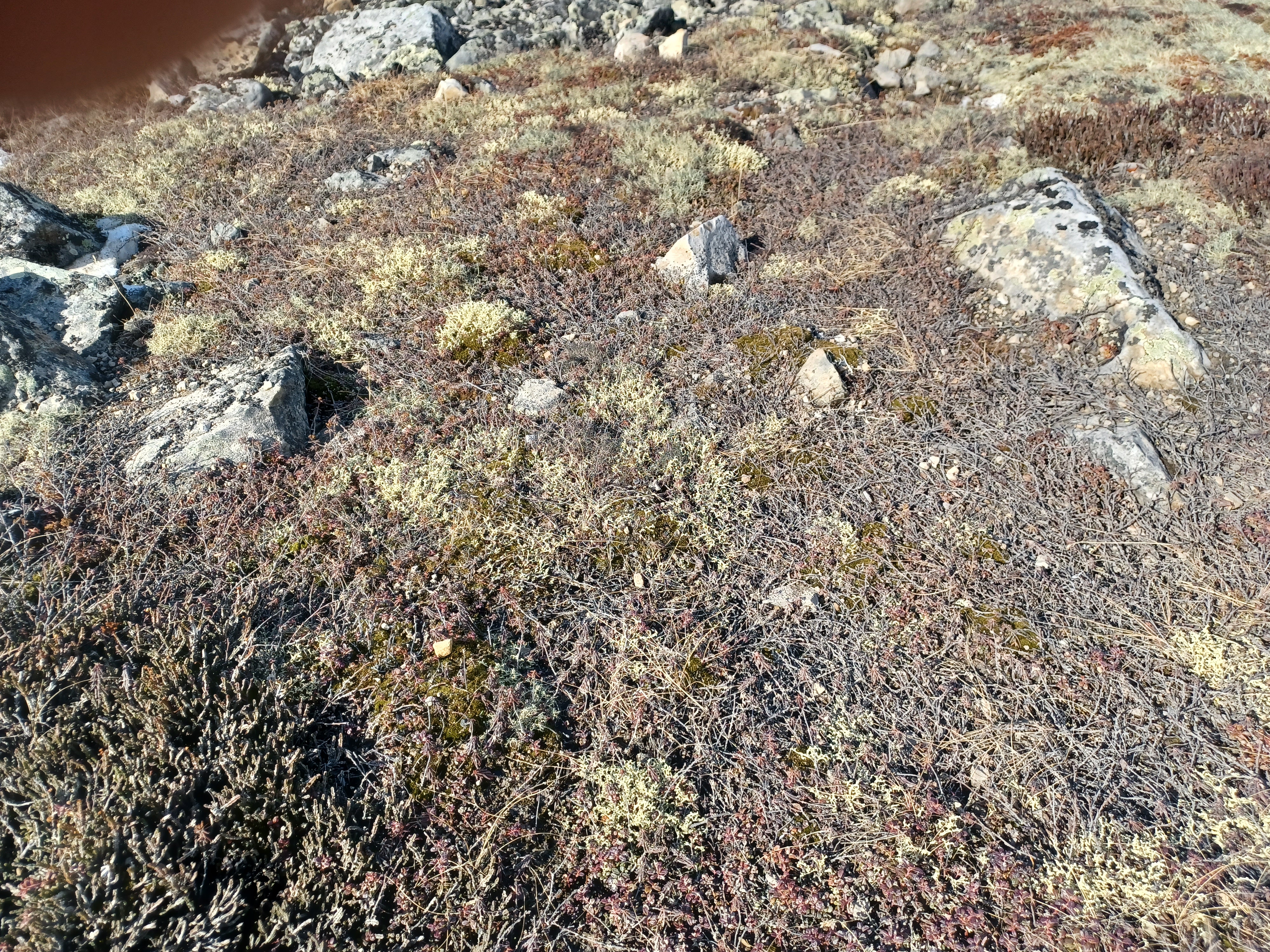
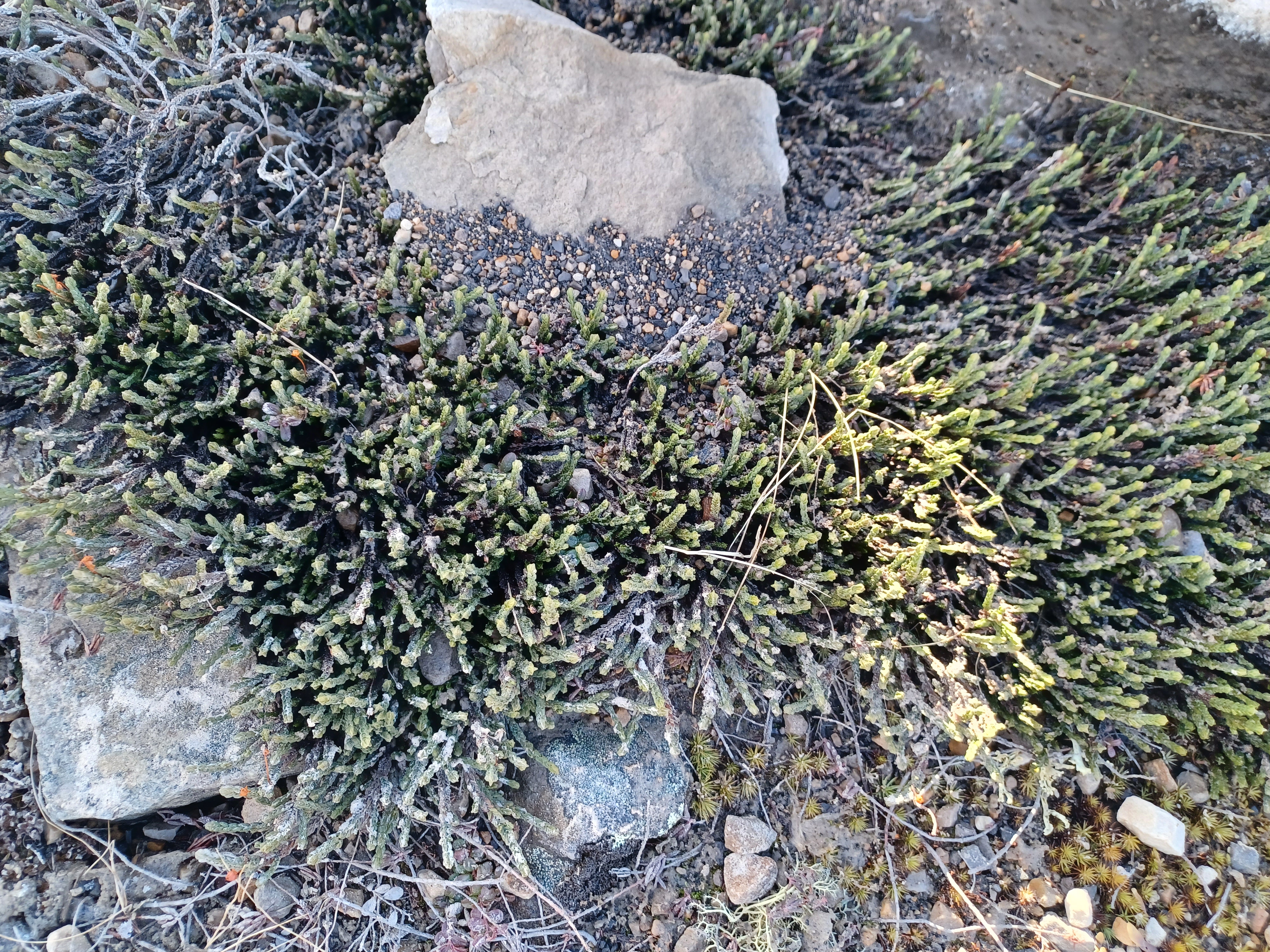
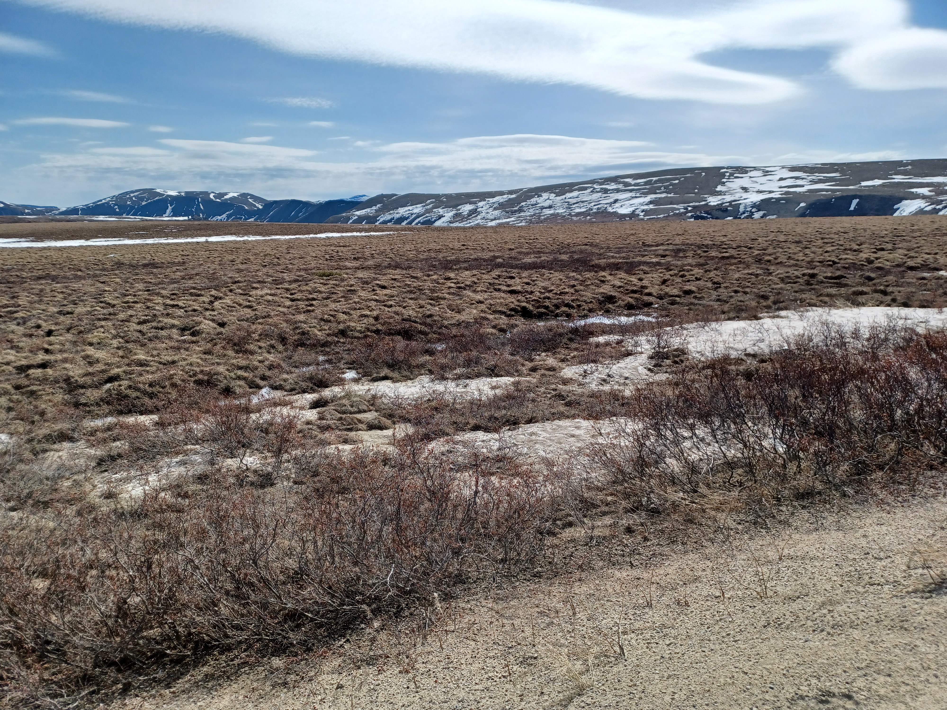
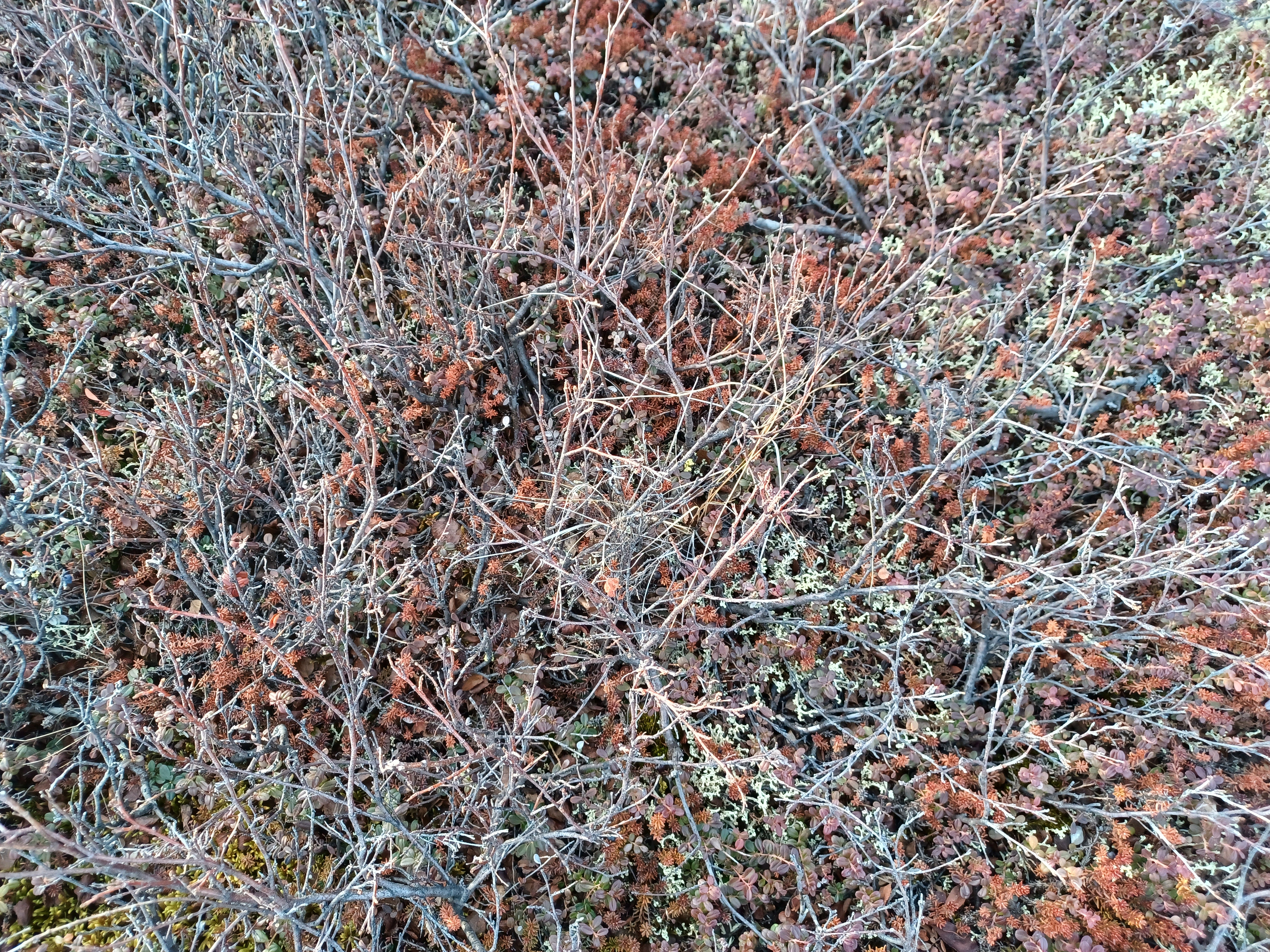
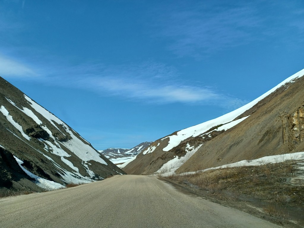
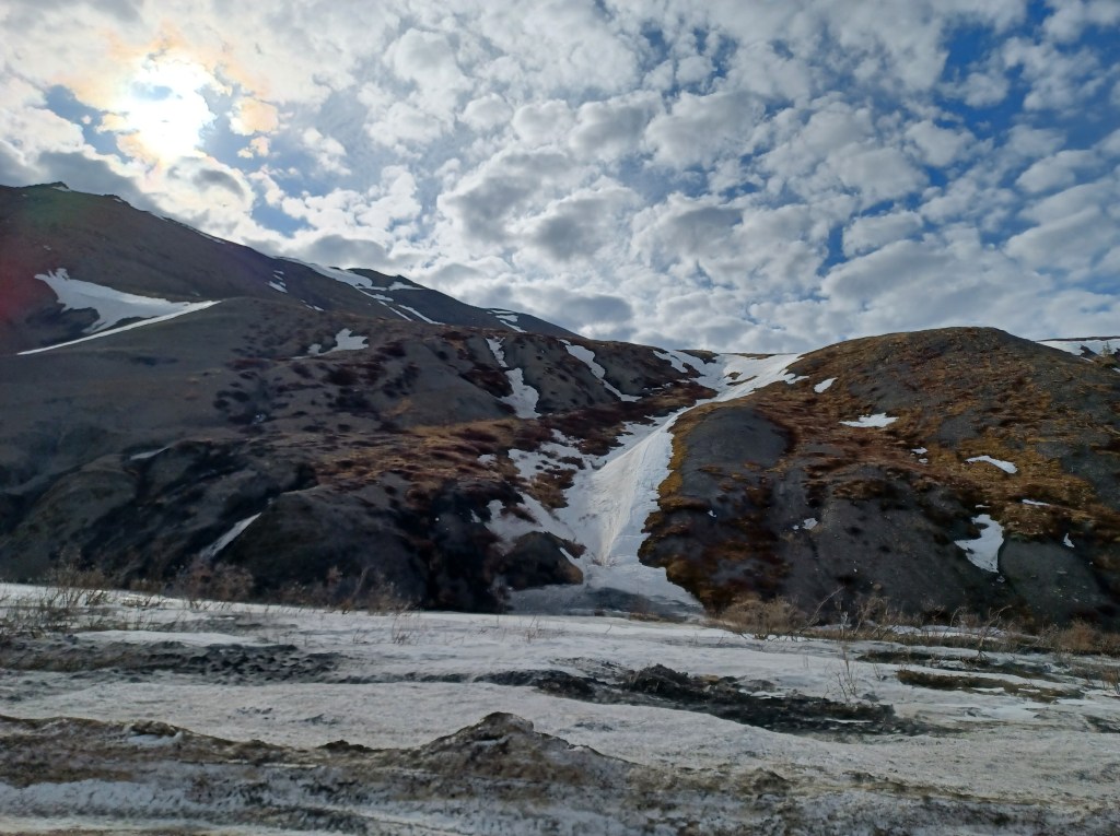
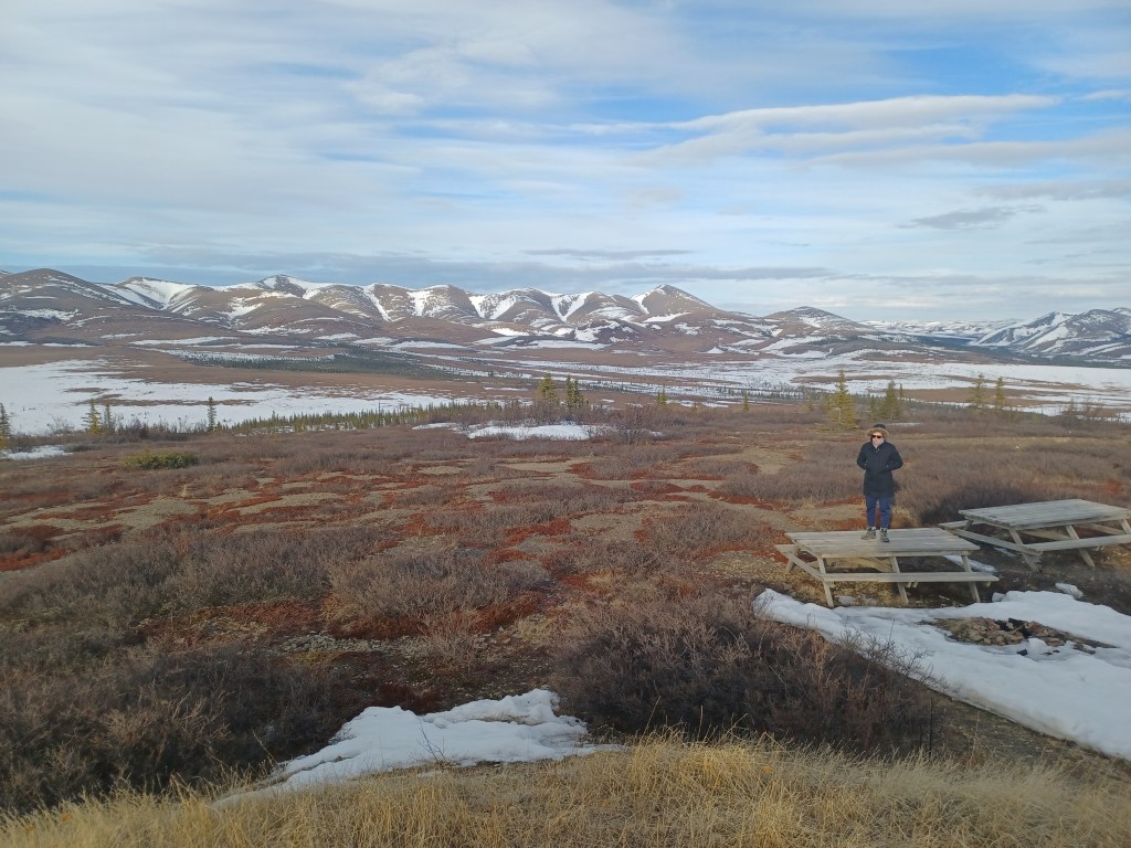
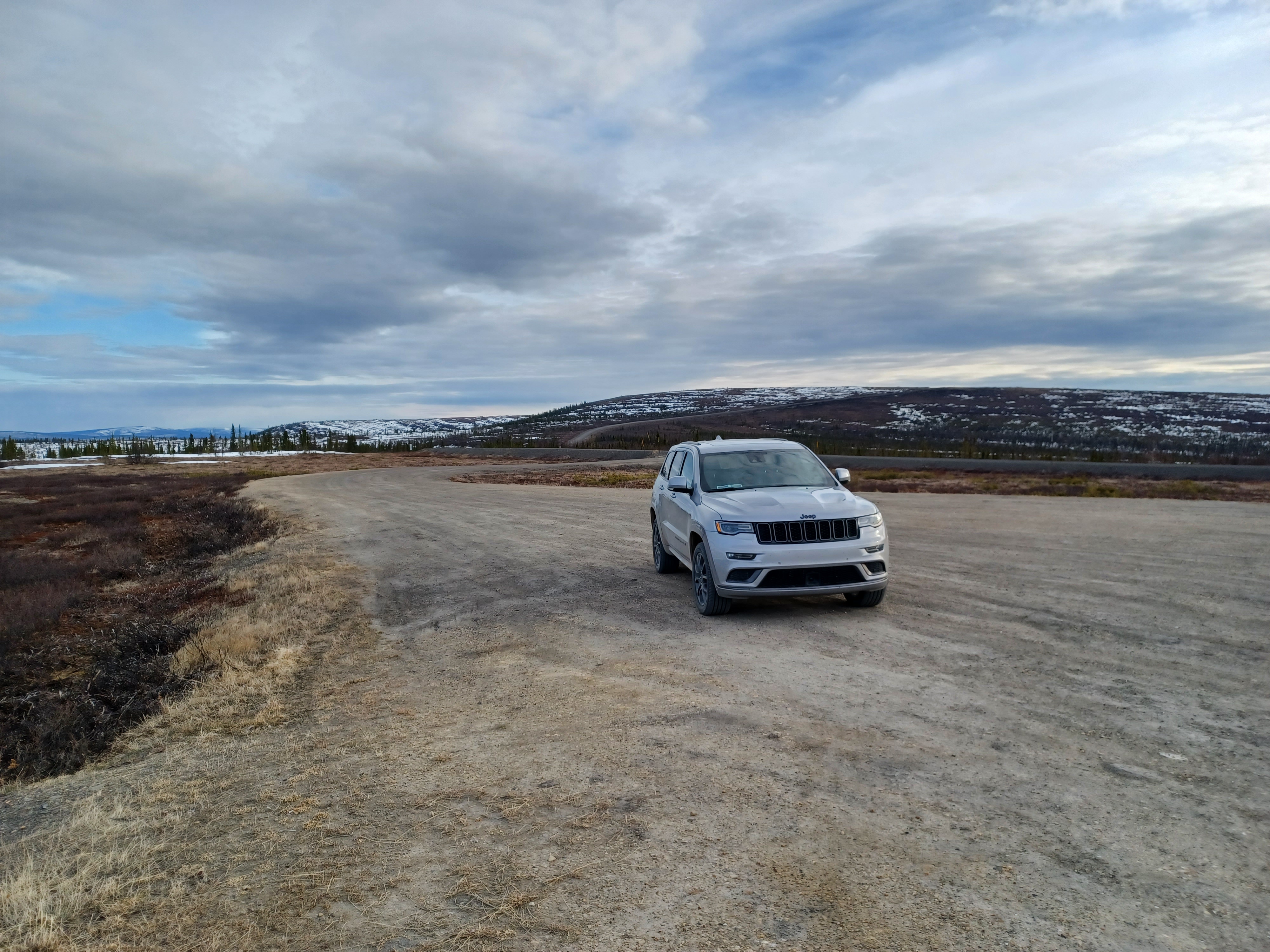
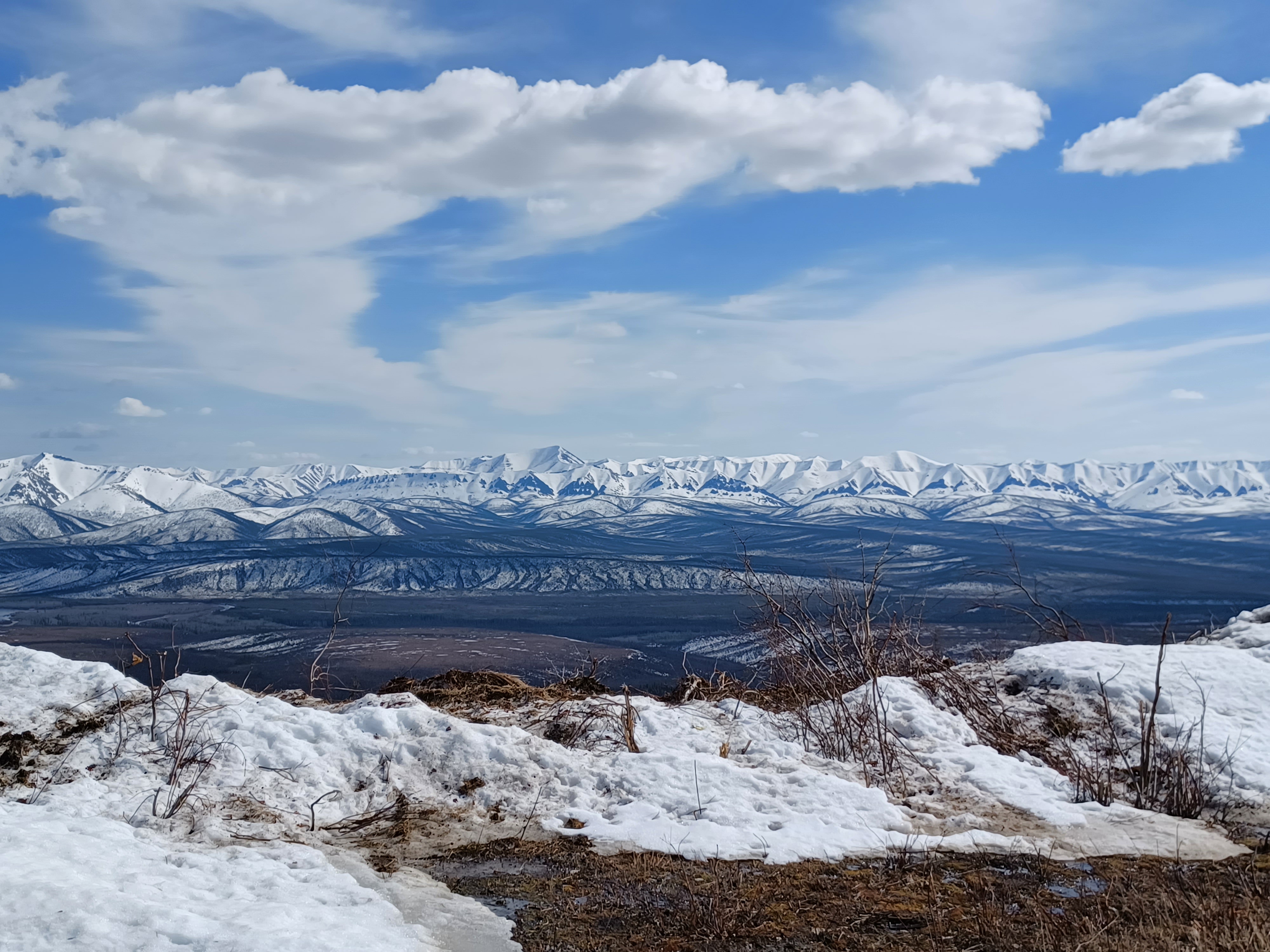
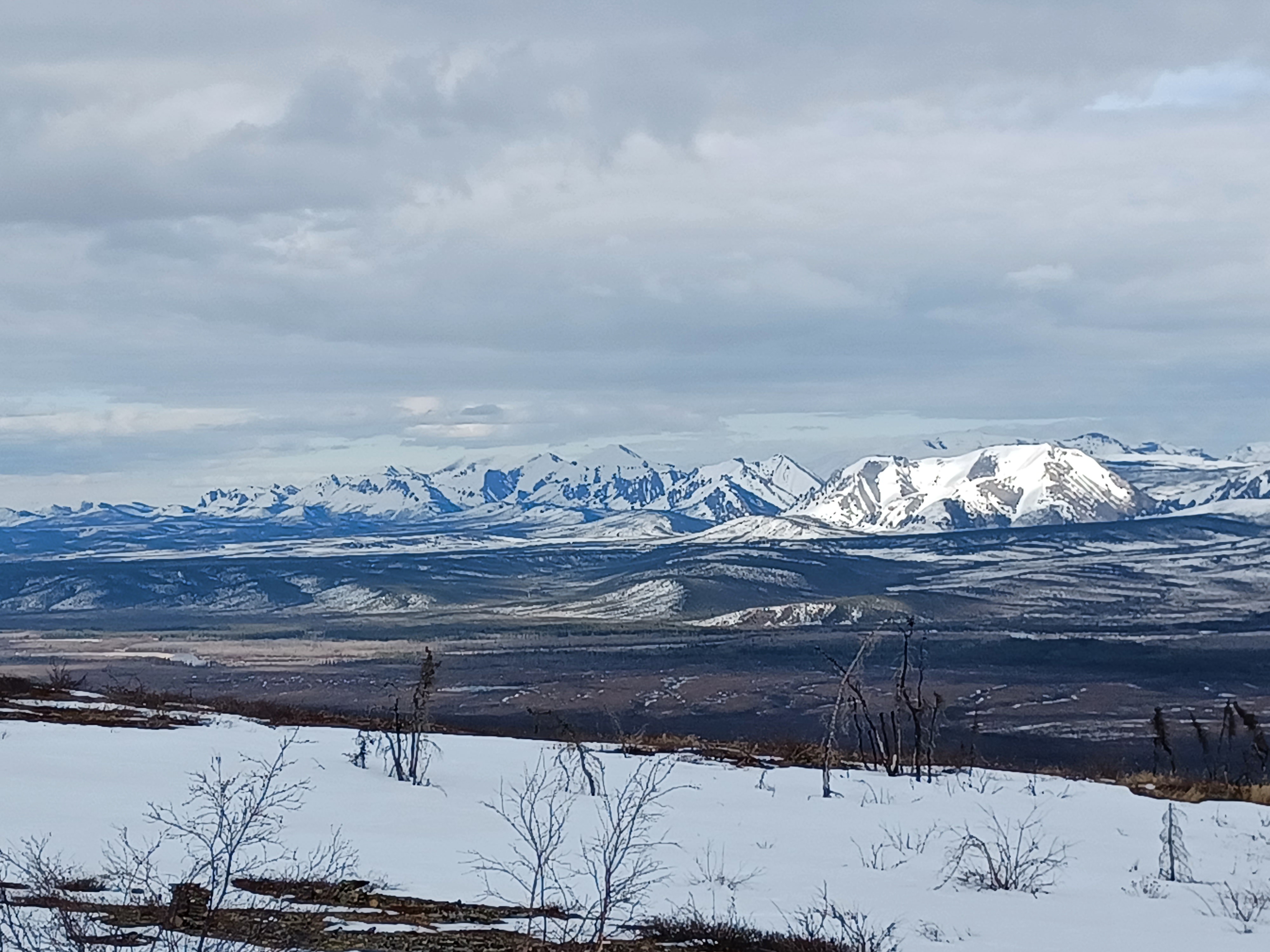
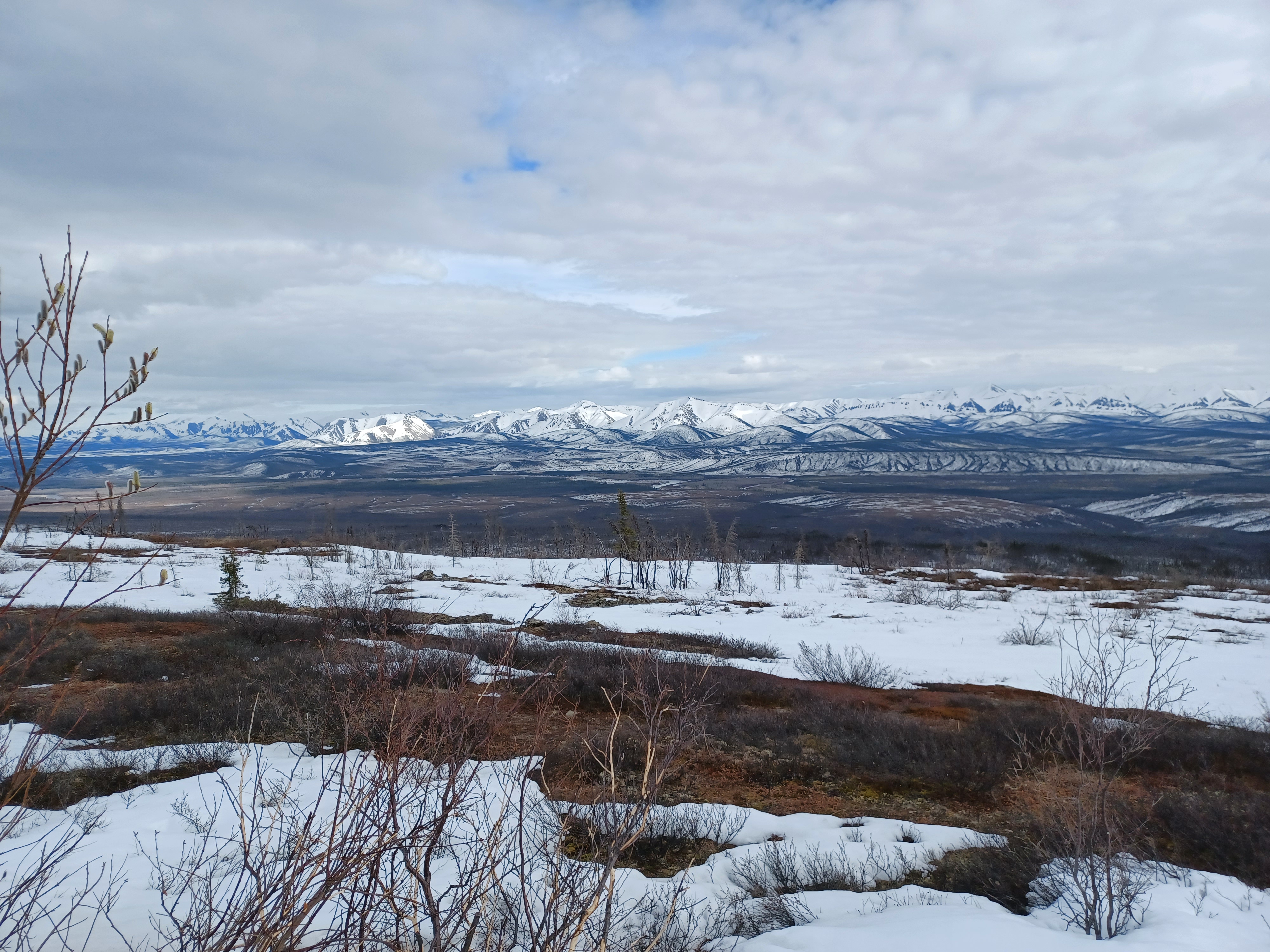
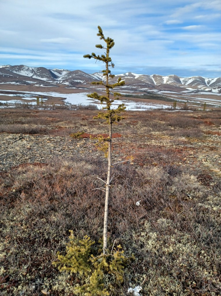
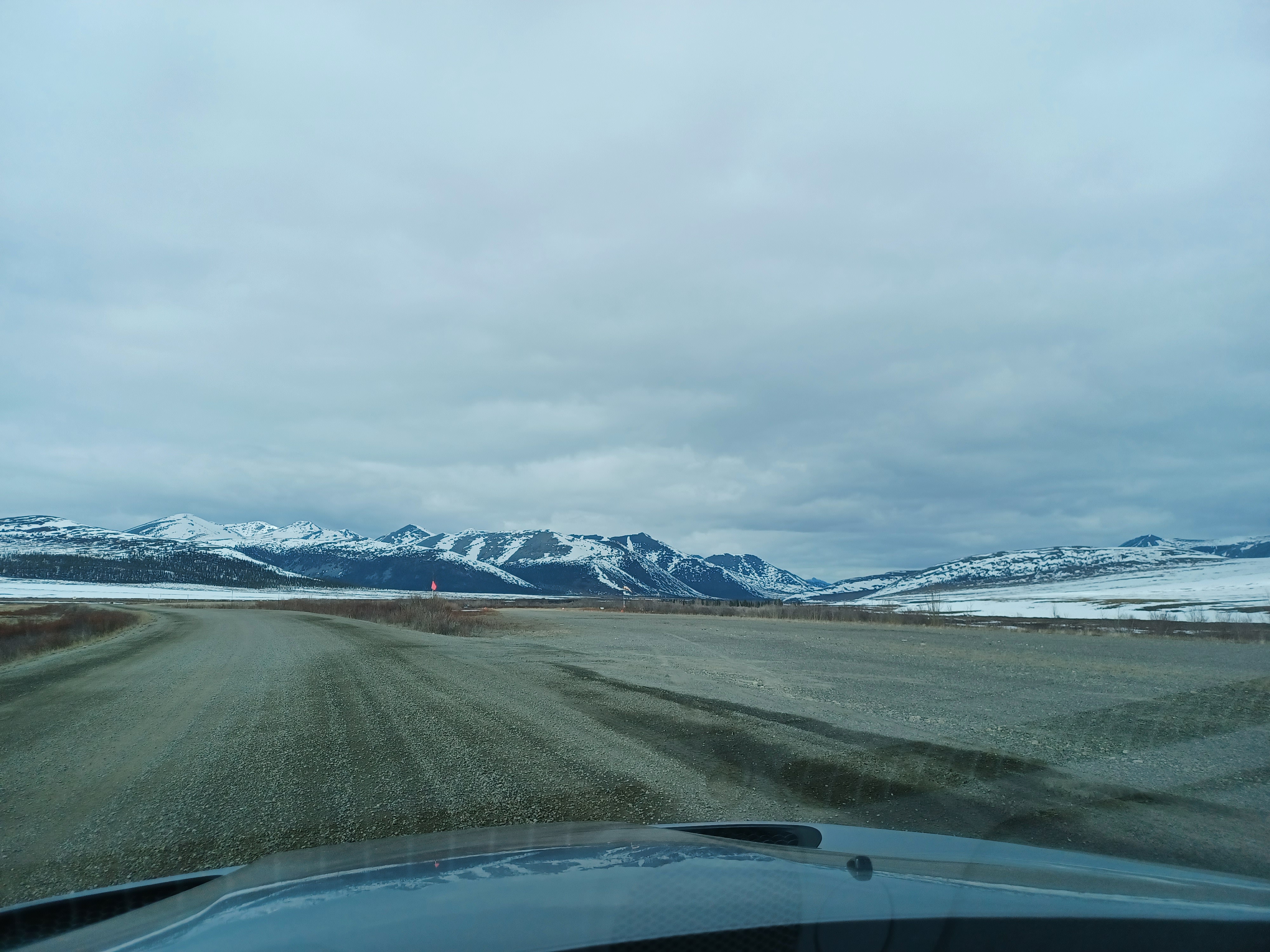
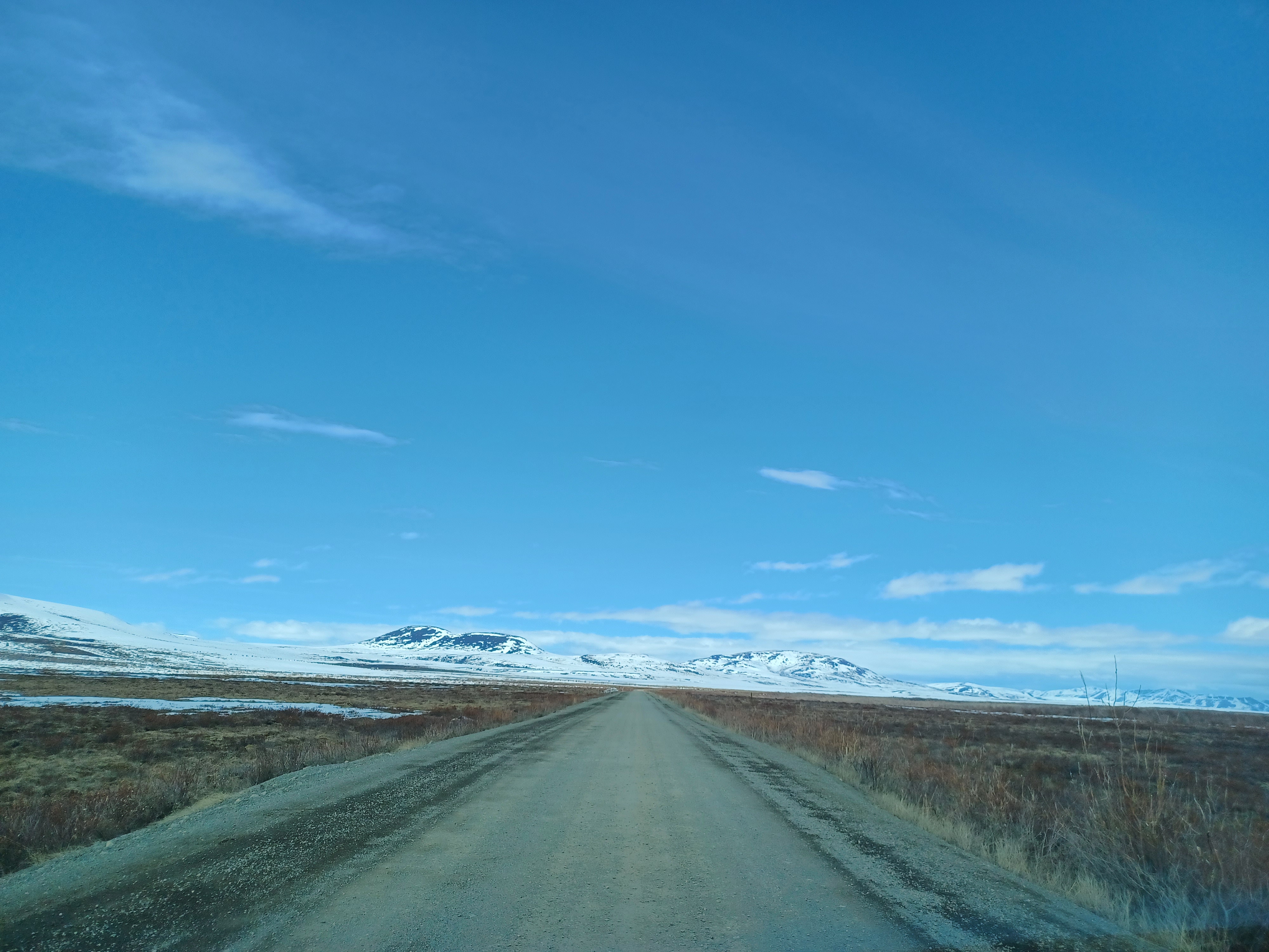
I’d never seen tundra before in person. I thought it would all look the same, but turns out it’s more of a catch-all term. I also thought that I’d come to a point where ‘the last tree’ was where no other tree could grow, but we were surprised to find carpets of tundra variating between dwarf trees. Turns out, the tree line isn’t a straight line.
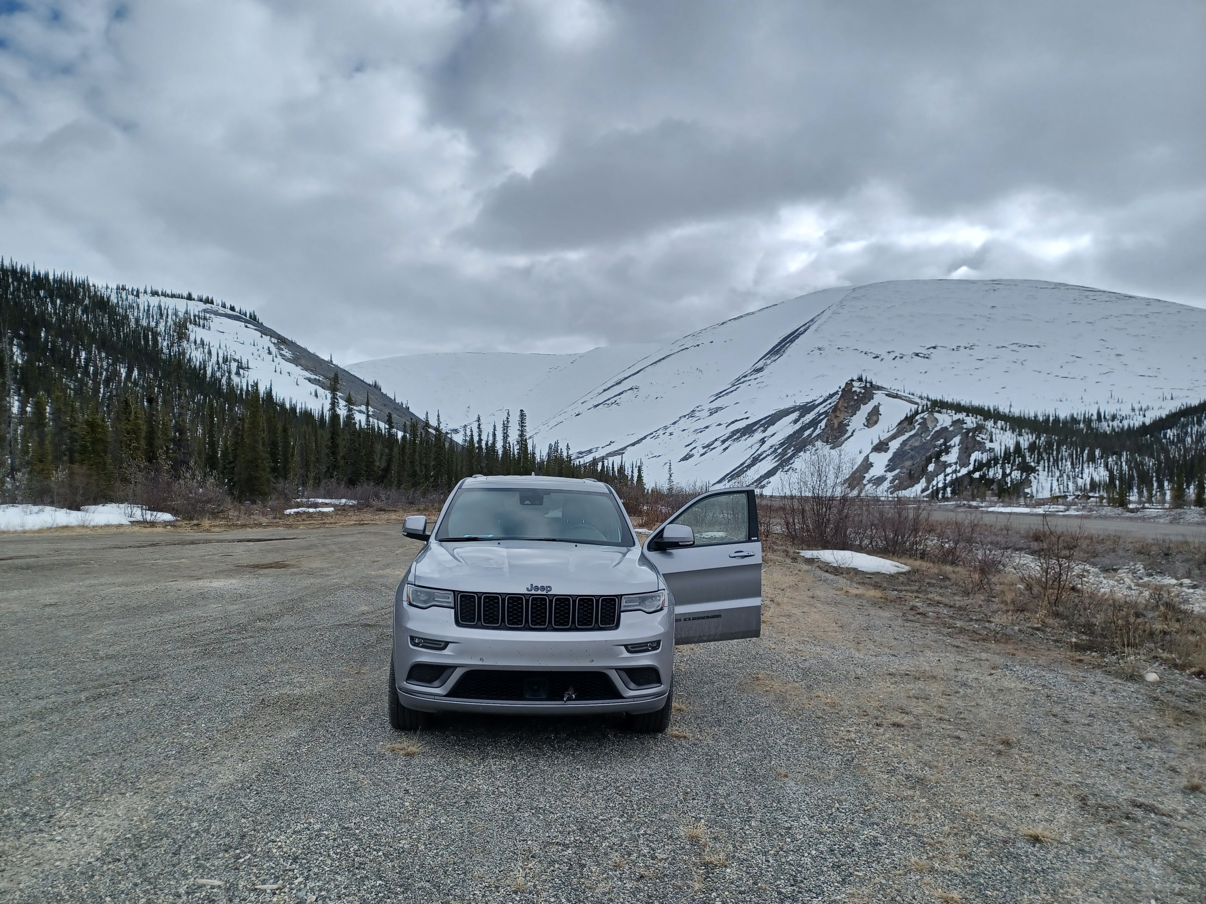
We were well-prepared, with spare tires and a jerry can of gas. One spot roughly in the middle, Eagle Plains (population 9), also had gas, but we heard mixed news about its availability (turns out it exists, but on our way out we couldn’t find an attendant). With all the prep we did, the road wasn’t actually that bad, at least in an SUV. It’s more just that if anything does happen, you’re incredibly far from any service station or any sort of help, with signs periodically reminding you that there’s no emergency services available.
The biggest point of concern for me during the drive was what was called the break-up. Every spring, the ice gets broken up over two rivers (Peel and Mackenzie) to allow a ferry to bring cars across. The majority of the year, the ice forms a bridge over narrow parts of the river crossings. A local told us that originally the government planned to build actual bridges over them, but the road didn’t generate as much traffic as they had thought, so plans to build the bridges were abandoned. (This same thinking is what caused the, at the time, much-renowned motel at Eagle Plains to be built that has now dwindled to the population of 9.)
I had read that for a couple days in the spring, you couldn’t cross. And I could only find out information on the Peel River – I didn’t even realize until we were there and studied the map enough that the same issue would exist for the Mackenzie River a little further up. We talked to someone who worked at the place we were set to stay at in Inuvik, and they said we should be fine at the time of year. But when we arrived at the Peel River crossing, a giant sign said that the ice bridge was open, even though it was clearly cracked, with pieces of ice floating. I had thought that maybe we had to drive in the water a bit until we got onto firmer ice, and found a large pole that I used to figure out how deep the water was. (It didn’t really help, but I thought this made me look knowledgeable. It didn’t.) I was worried we were the dumb tourists that didn’t realize we had to drive over the cracked ice.

Luckily, Cheryl trespassed on someone’s property on a reserve we happened to be on, and before the dogs were able to chase her away, a man came out and talked to us. Despite his dogs, he was incredibly nice and talked to us for awhile, suggesting we set up a tent and enjoy nature since we came all the way out here. He thought his neighbour Keith might be around, and maybe Keith would like a visitor too. He was waiting for his friend to drive him up to a well to get fresh water because he was about out. He said the water was so fresh and hopefully the beer companies didn’t find out about it. He also mentioned that he saw a moose a couple days ago that his dog alerted him to, but the moose got away before he got his gun out. Good thing it was light out and he could tell that Cheryl wasn’t a moose.
Most car rental companies won’t rent a car to you if you’re intending to drive the Dempster. We found one place in Whitehorse (Driving Force) who were OK with it and encouraged us to get the better insurance package, which we did. Although we had some scares with a tire that was deflating quickly, we didn’t have any issues aside from when were seriously considering driving into a river. We wouldn’t have made it very far, the guy we met assured us.
I’ve had the pleasure of doing some pretty spectacular road trips to the point where I actually quite enjoy long drives on rough roads. I hate driving on big highways, though – for me to enjoy a drive, there can’t be many other cars around, there has to be a lot of scenery where you can stop for a few pictures, and you have to be able to go your own pace.
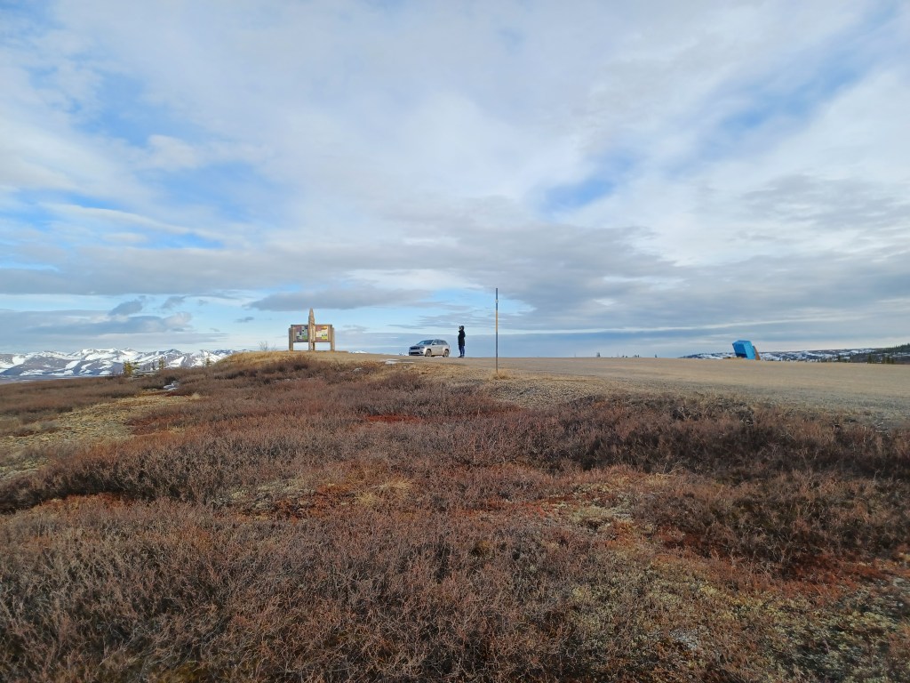
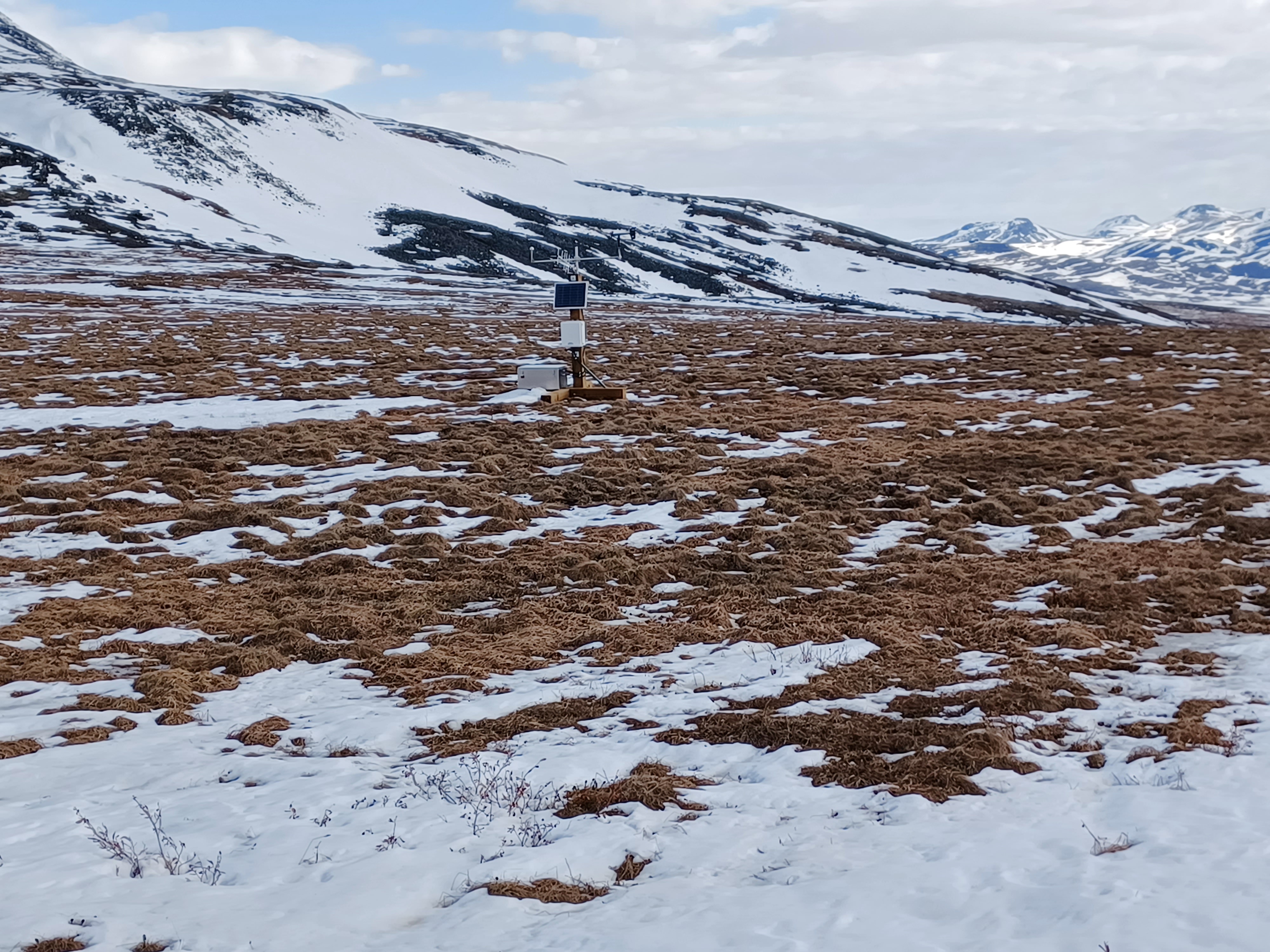
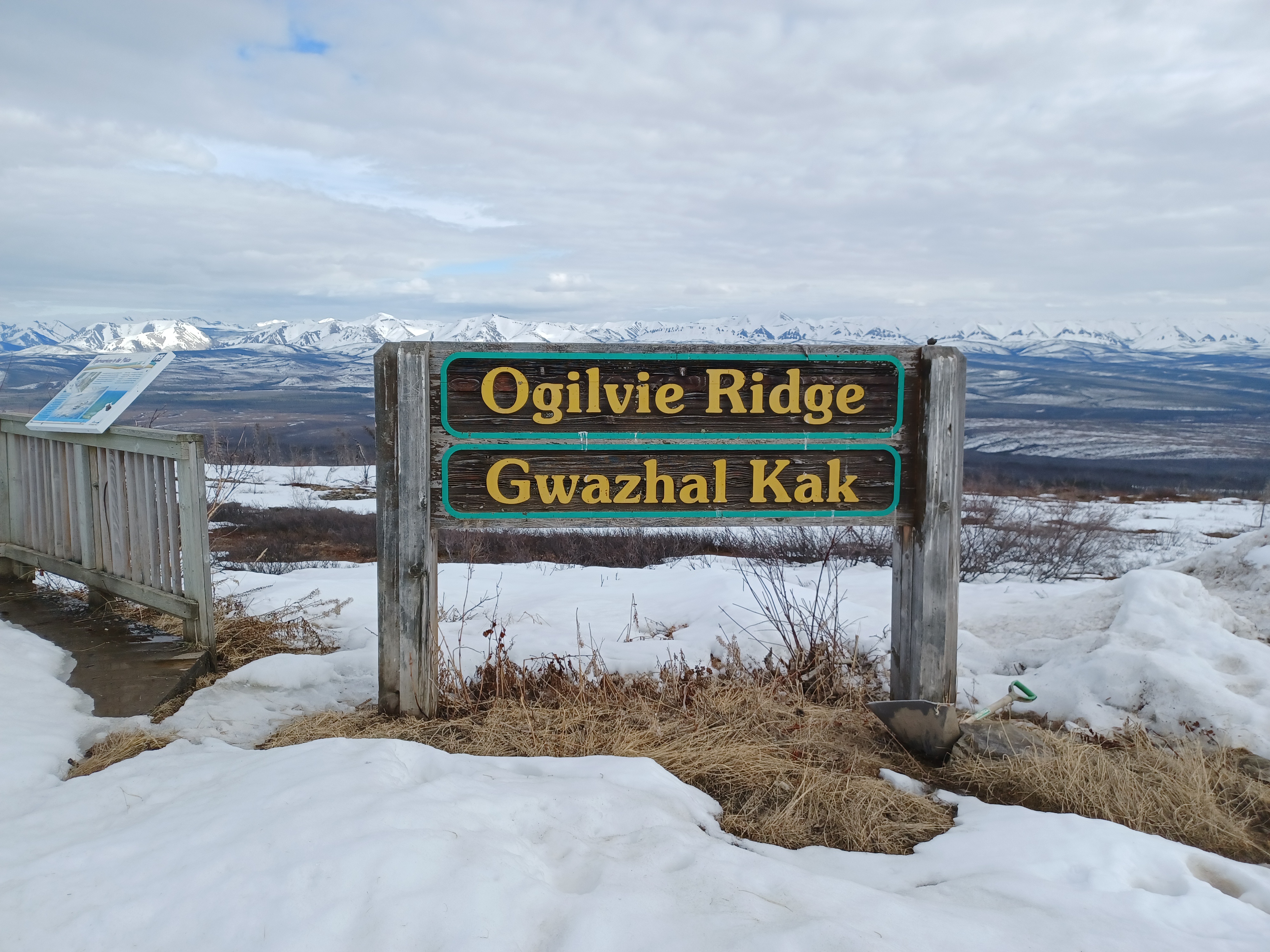
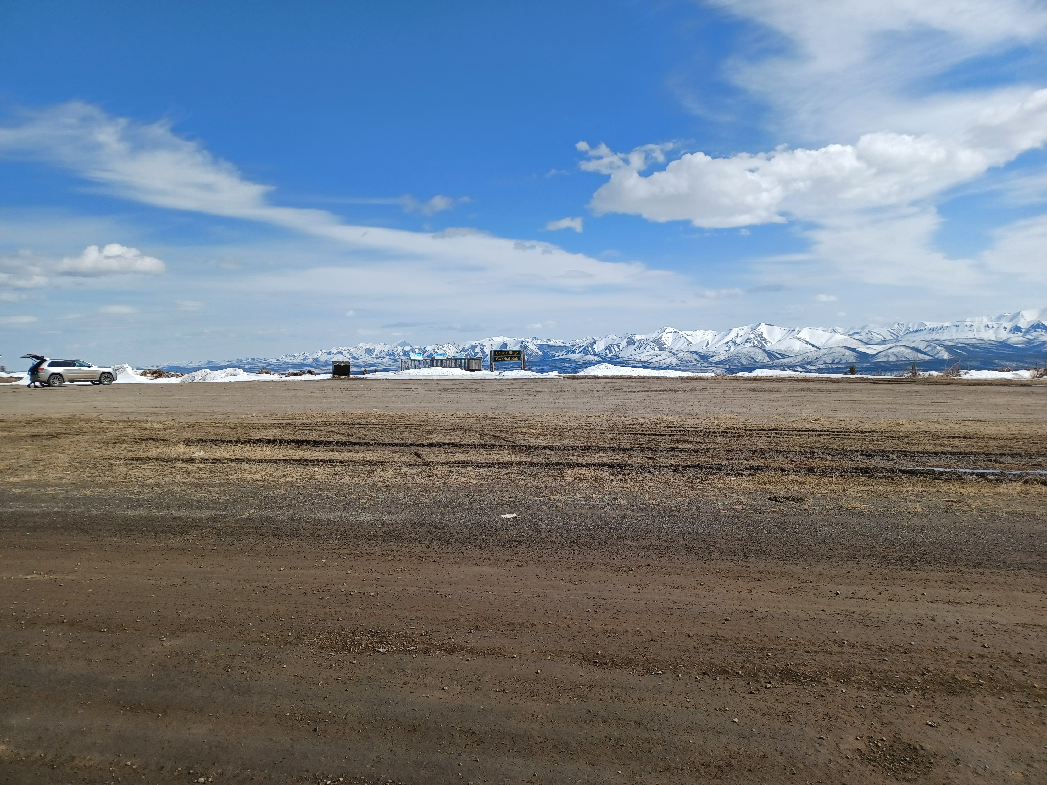
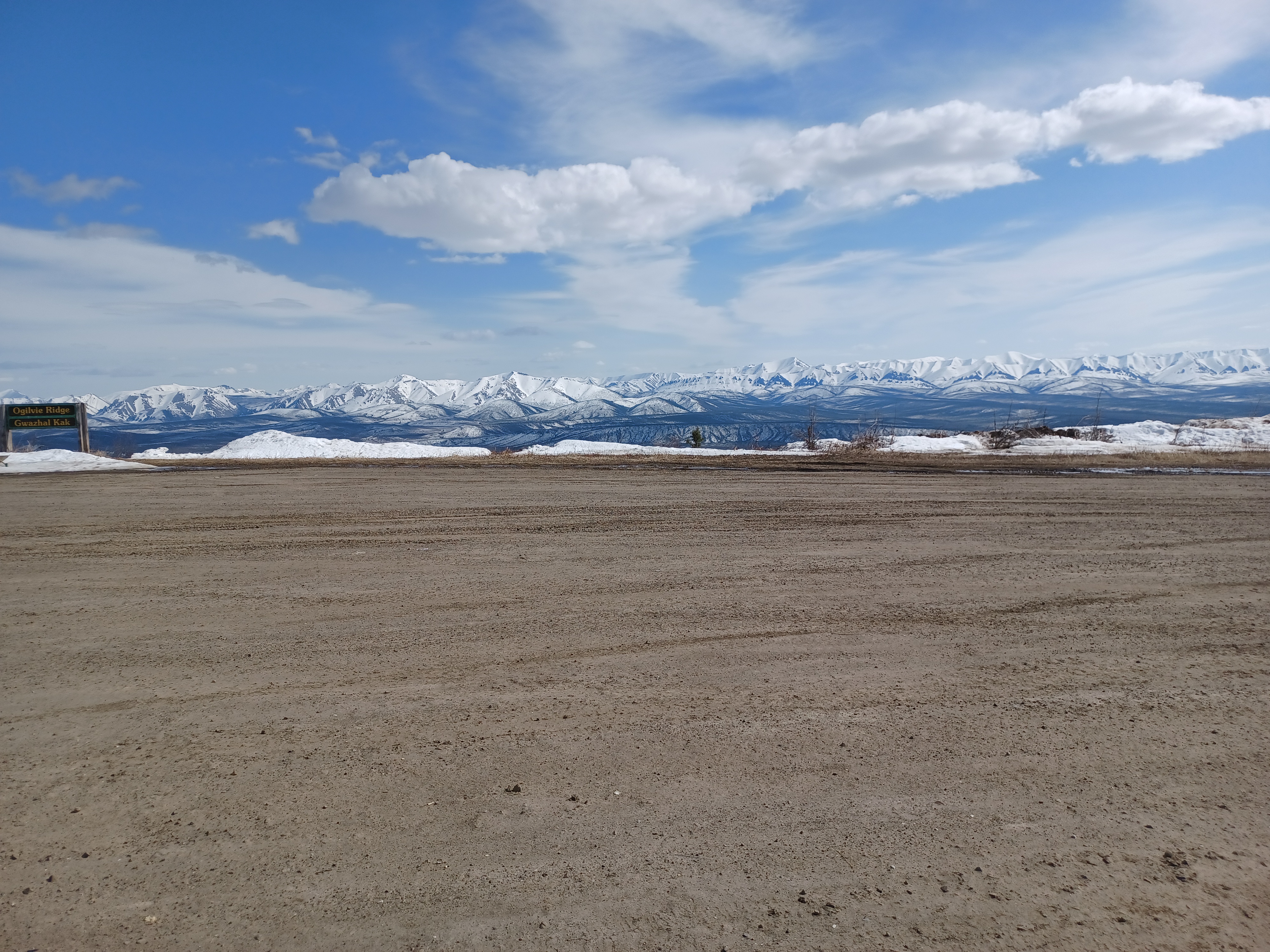
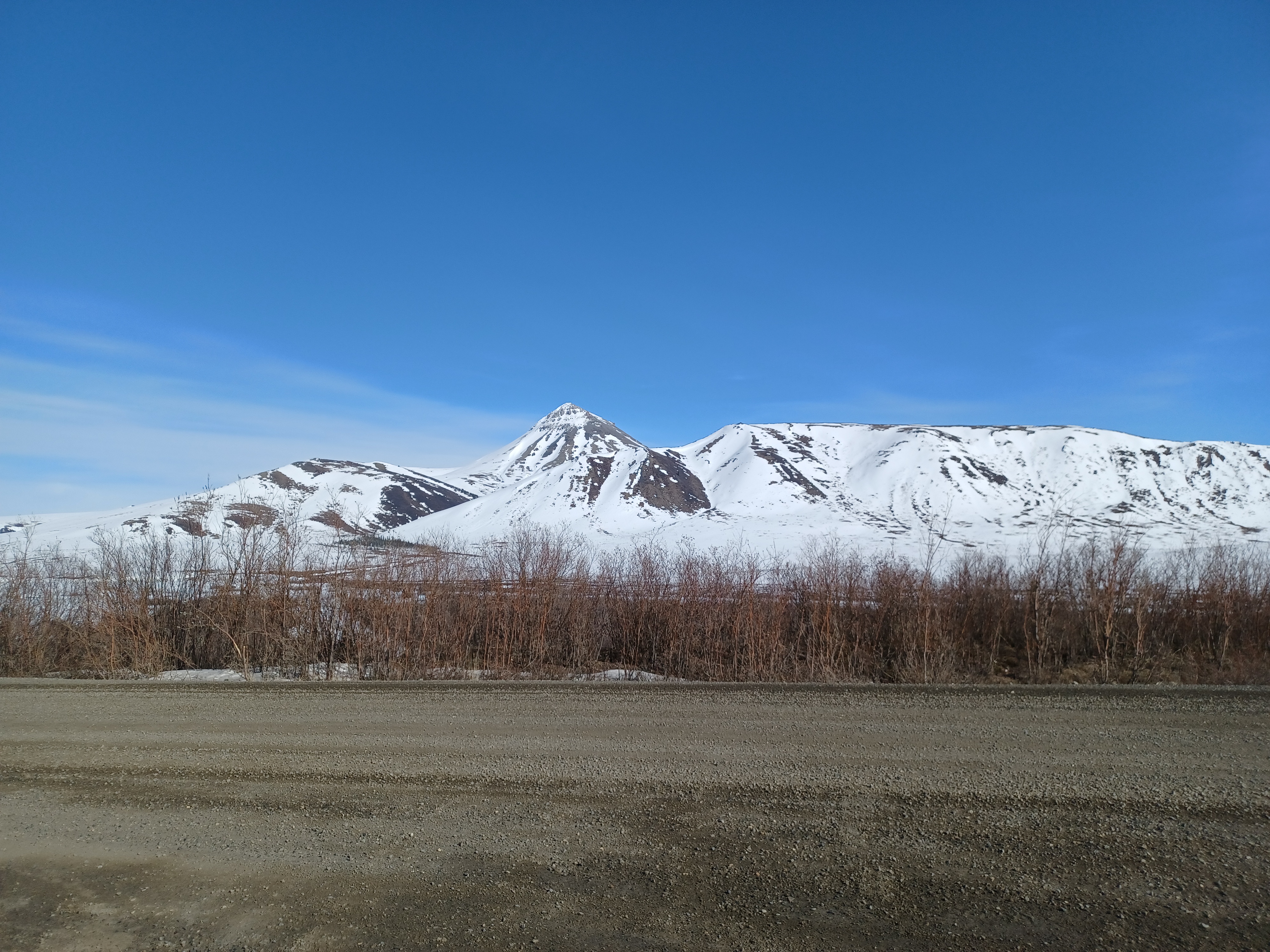
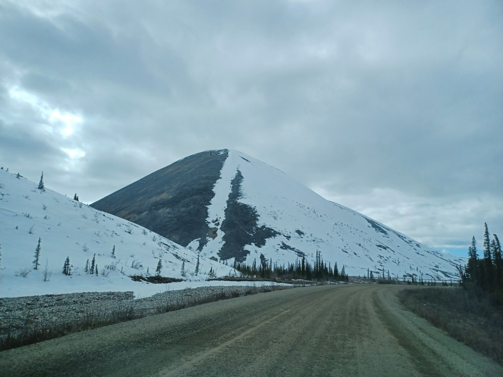
We were pleasantly surprised at how well-serviced a road with no services was. Every hour and a half or so, we’d be at a place we could pull over with an outhouse or two, with signs that talked about the history or the landscape, and great lookouts. My favourite pull-out was the Ogilvie mountain range, which had a hell of a view. It’s the place where one of the Tombstone park guys recommended “making our own trail,” which I’d actually probably want to do if I were to ever make it back. The good thing about no or few trees is that we wouldn’t need to bushwhack, and we’d be able to see a grizzly from a long ways away.

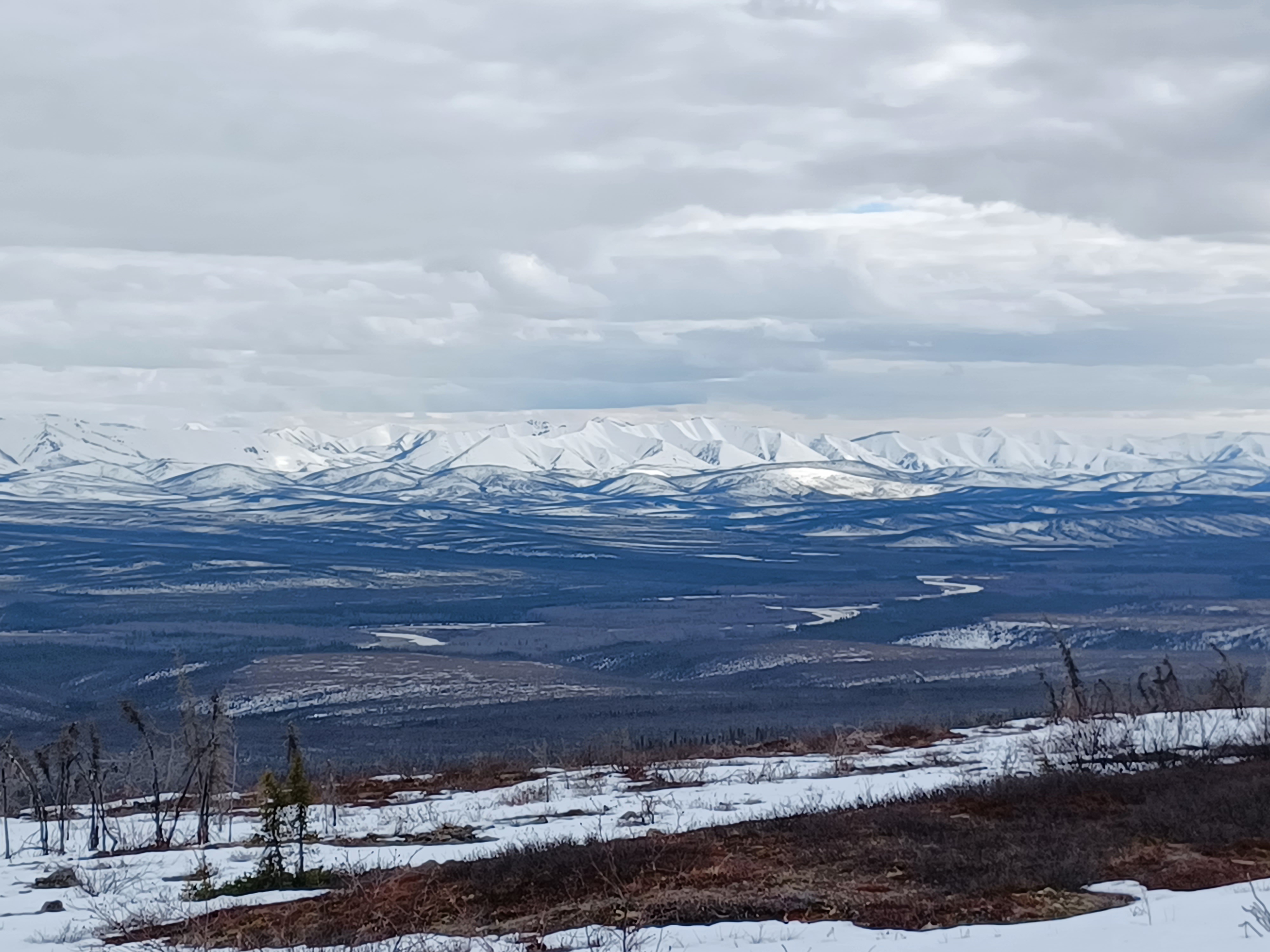

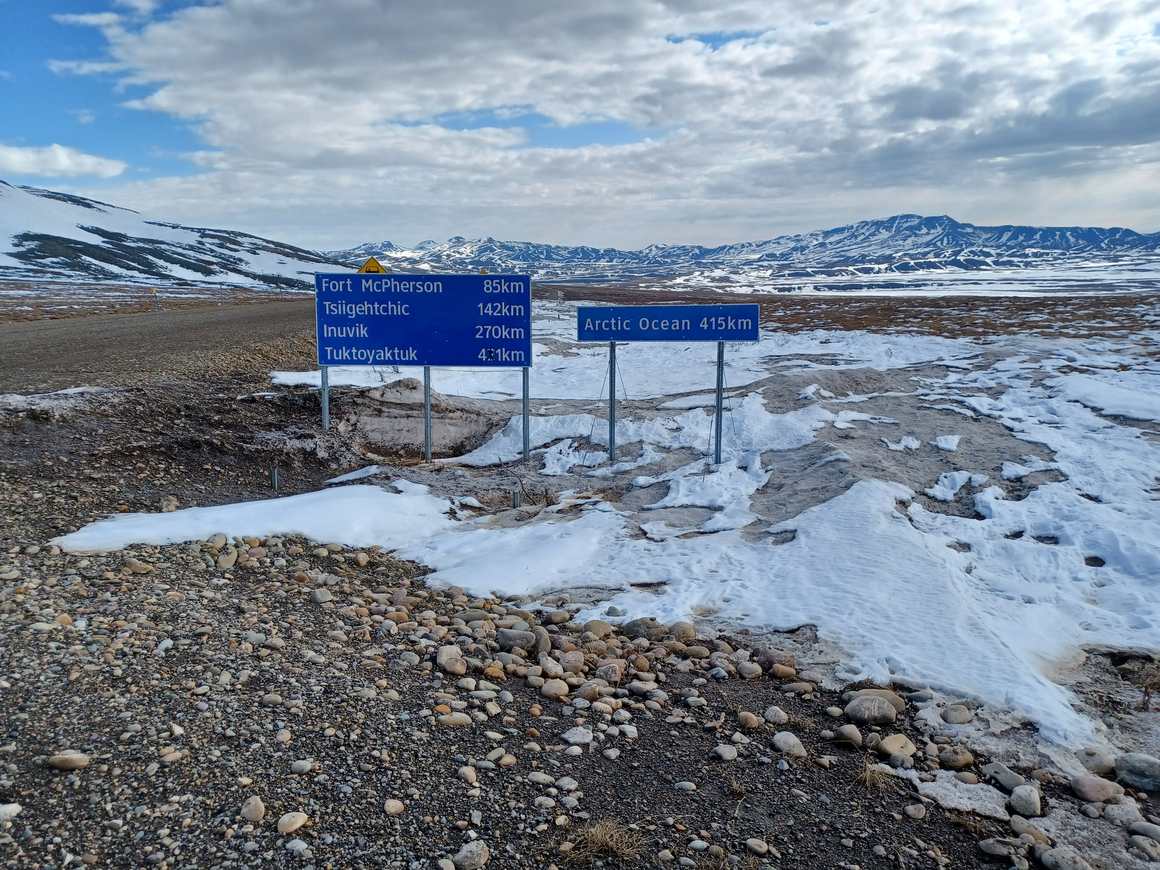
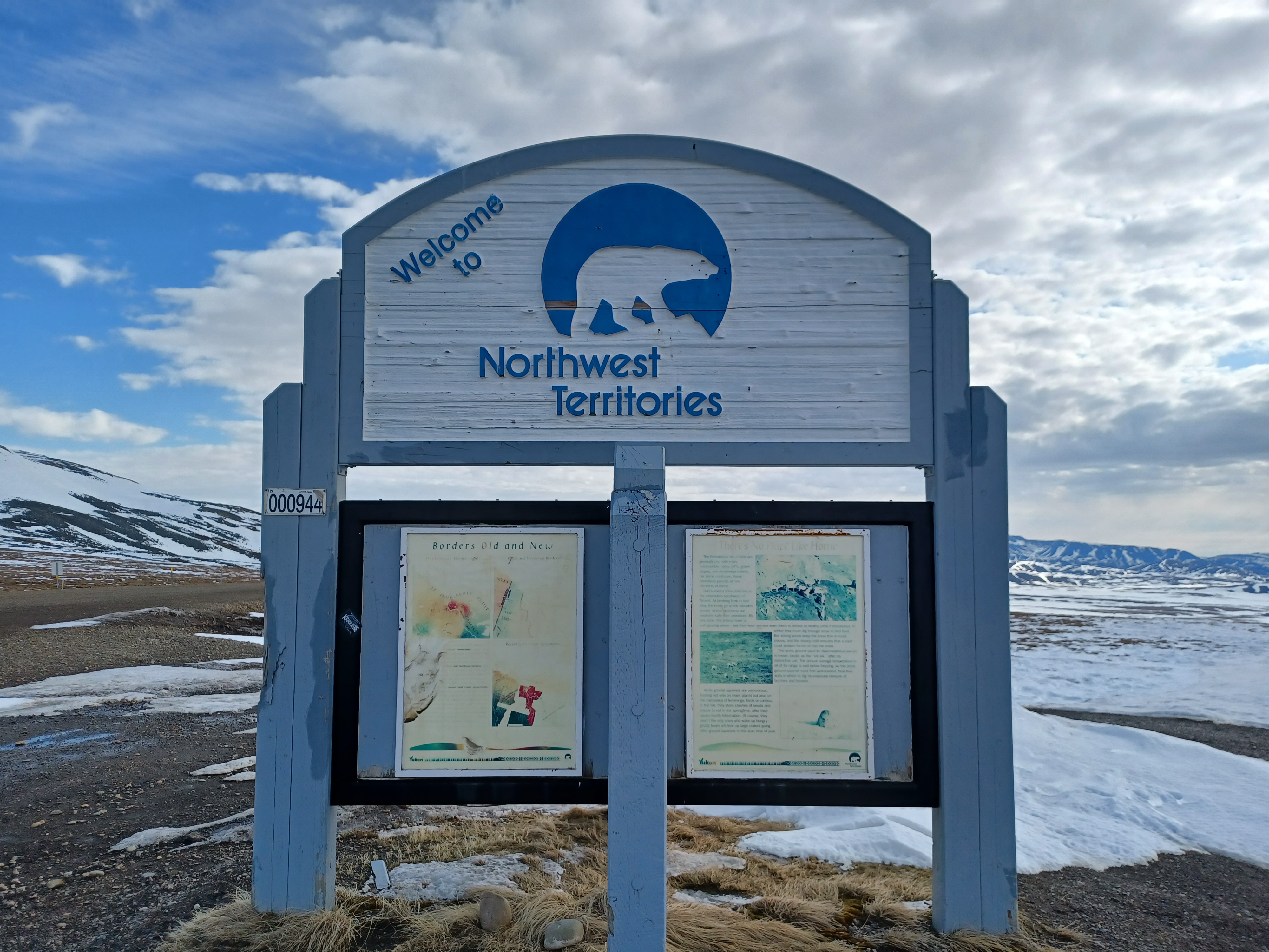
It was a bit disappointing not to make it all the way to Tuktoyaktuk because of the Peel River crossing. We were turned around just before Fort McPherson, after 539km on the Dempster, but at least we made it about an hour into NWT. That stretch was probably my favourite. The whole drive felt like an other world, but this part more than the rest.

When in Eagle Plains, we overheard some people talking about the road closure and how they have to wait to be able to cross to move supplies. The guy we met next to the river told us it’s been taking longer the past couple of years and expected it to be uncrossable for about three weeks. If it’s about the same amount of time in the fall when it freezes, that’s six weeks a year when you’d be stuck on either side.
The road is drivable in one day, considering that the sun hardly sets if you’re in the northern part, and there are a couple campgrounds along the way. It’d also be easy enough to pull over at some parts to sleep. I don’t recall actually seeing any RVs, but it seems like a very RV-friendly trip.

Although I think pretty much anyone would enjoy the scenery, you’d probably have to enjoy long drives to be comfortable on the trip. Having some confidence in your ability to troubleshoot car issues and change a tire would probably give you peace of mind too. It’s the sort of trip you have to prepare for, and in some cases, it’s not always easy to find all the information you need by simple google searches, which is something I’m personally not used to.
I love that I’ve done such a variety of trips, and this one fits that narrative as something outside of the ordinary that I can add to my arsenal and look back on thinking, wow, that’s a pretty crazy thing I did. When it comes down to it though, it’s just a beautiful, quiet drive.


Very cool road trip! Thank you for sharing. 🙂
LikeLiked by 1 person